Home > Electronics & Navigation > Navigation > Charts (Paper Charts)
Manufacturer #: IC2200-9
A convenient A2 format chart pack of The Solent and Isle of Wight provided in a sturdy plastic wallet. This fully revised and extended edition of our popular Solent chart pack has been redesigned and expanded to 16 sheets. It includes the latest official UKHO data combined with additional information sourced from Imray's network to make it ideal for small craft. The chart pack includes all the navigational charts and tidal data for passage, approach and mooring. Included in this edition is improved coverage of the East Solent harbours.
Publication details
We're currently unable to show live stock information on our website, so if you need delivery fast we strongly recommend checking availability first. Simply fill out the form below and we'll get back to you, or call us on +44 (0)1243 375774 for an immediate answer.
Be the first to Write a Review for this item!
Chichester, Langstone and Portsmouth Harbour are now shown across five new sheets allowing these harbours and approaches to be covered at a better scale. A new sheet has been added to show coastal navigation off the south coast of Isle of Wight, and a new index sheet of the Solent Approaches is now included.
New: Vessel Traffic Services (VTS) reporting pointsImray charts for the Solent and approaches now include all VTS reporting points found in these waters. VTS reporting is mandatory for vessels of more than 20m in length that are bound to and from the Solent.
Includes:
Imray Digital Charts: Includes mobile downloadA voucher code to download the relevant Imray digital charts into the Imray Navigator app is included with this atlas.
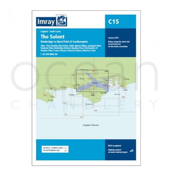
Imray - Chart C15 The Solent
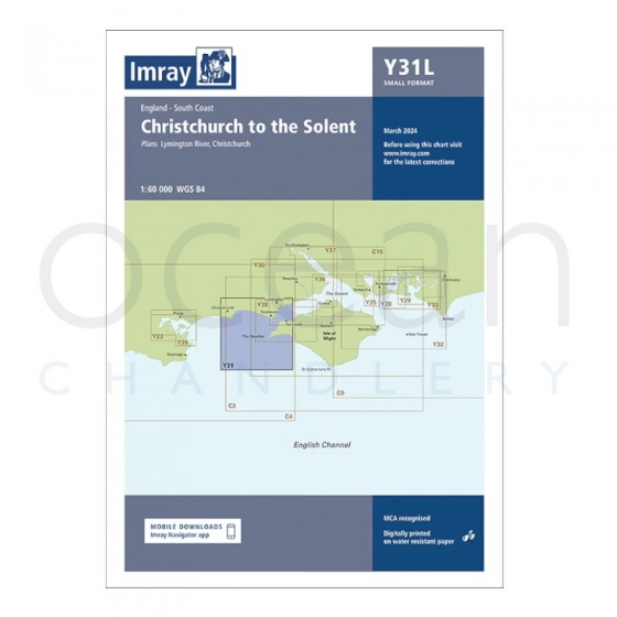
Imray - Chart Y31 Christchurch to the Solent (Small Format)
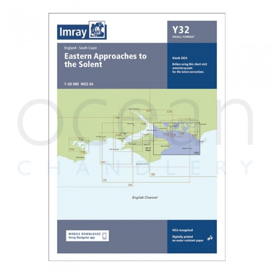
Imray - Chart Y32 Eastern Approach to the Solent (Small Format)
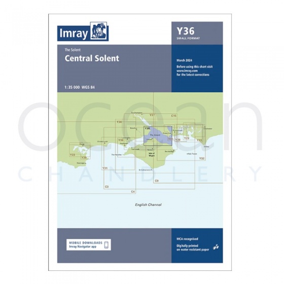
Imray - Chart Y36 Central Solent (Small Format)
My Account Total: £0.00