Home > Electronics & Navigation > Navigation > Charts (Paper Charts)
Manufacturer #: IC2300-7
A convenient A2 format chart pack of Dorset and Devon Coasts covering waters from the River Dart to the western approaches to The Solent provided in a sturdy plastic wallet. This fully revised and extended edition has been redesigned and expanded to 13 sheets and includes improved coastal coverage throughout. The latest official UKHO data has been combined with additional information sourced from Imray's network to make it ideal for small craft.
Publication details
We're currently unable to show live stock information on our website, so if you need delivery fast we strongly recommend checking availability first. Simply fill out the form below and we'll get back to you, or call us on +44 (0)1243 375774 for an immediate answer.
Be the first to Write a Review for this item!
The chart pack includes all the navigational charts and tidal data for passage, approach, and mooring, and is designed to be used alongside The Shell Channel Pilot by Tom Cunliffe.
Included:
Includes mobile download: Imray Digital ChartsFor download on the Imray Navigator app.
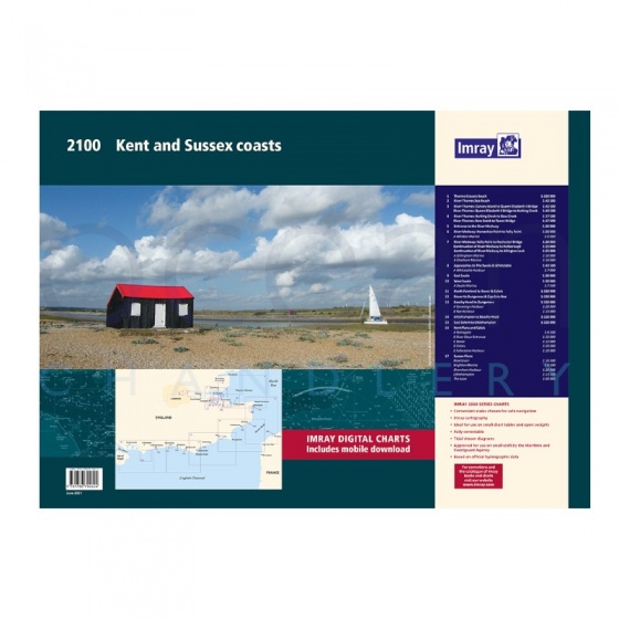
Imray - Chart Folio Pack 2100 Kent & Sussex Coasts
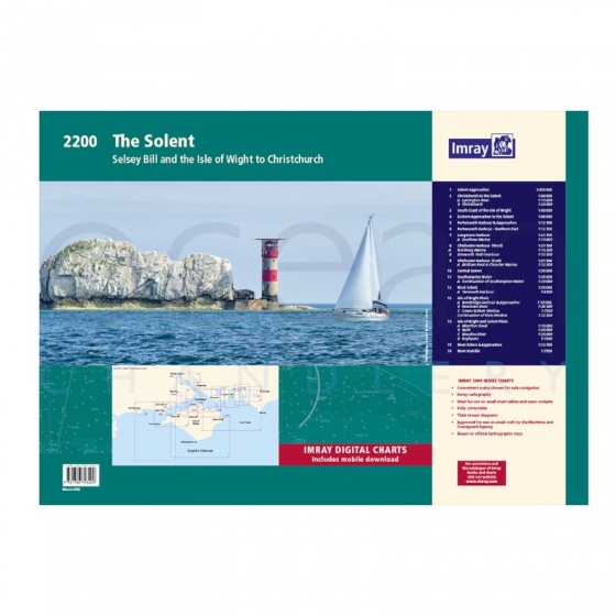
Imray - Chart Folio Pack 2200 The Solent
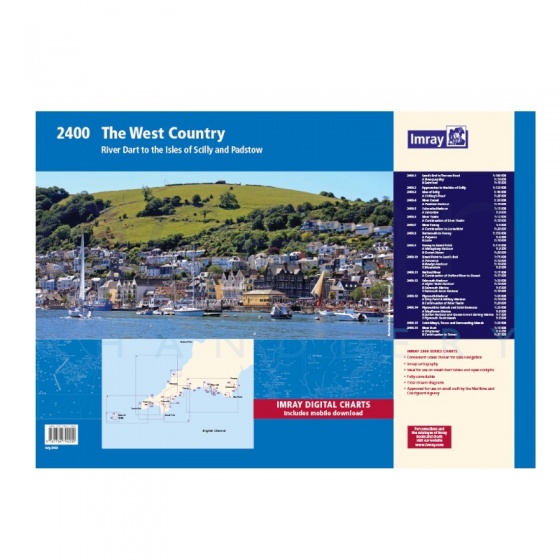
Imray - Chart Folio Pack 2400 West Country
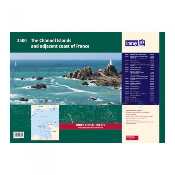
Imray - Chart Folio Pack 2500 Channel Islands & Adjacent Coast of France
My Account Total: £0.00