Home > Electronics & Navigation > Navigation > Charts (Paper Charts)
Manufacturer #: ICC14-4
Plans included: Plymouth (1:12 500) Mayflower Marina (1:4500) Sutton Harbour and Queen Anne’s Battery Marina (1:4500) River Yealm (1:12 500) Continuation of Saint Germans or Lynher River (1:20 000) Continuation of River Tamar (1:20 000) This edition includes the latest official Digital combined with additional information sourced from Imray's network to make it ideal for small craft. It includes the latest official bathymetric surveys. There has been general updating throughout.
Publication details
Flat versions are available to order, please contact us for details.
We're currently unable to show live stock information on our website, so if you need delivery fast we strongly recommend checking availability first. Simply fill out the form below and we'll get back to you, or call us on +44 (0)1243 375774 for an immediate answer.
Be the first to Write a Review for this item!
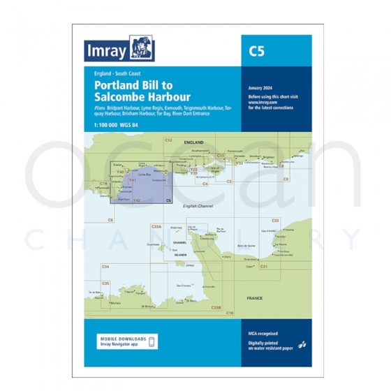
Imray - Chart C5 Portland Bill to Salcombe Harbour
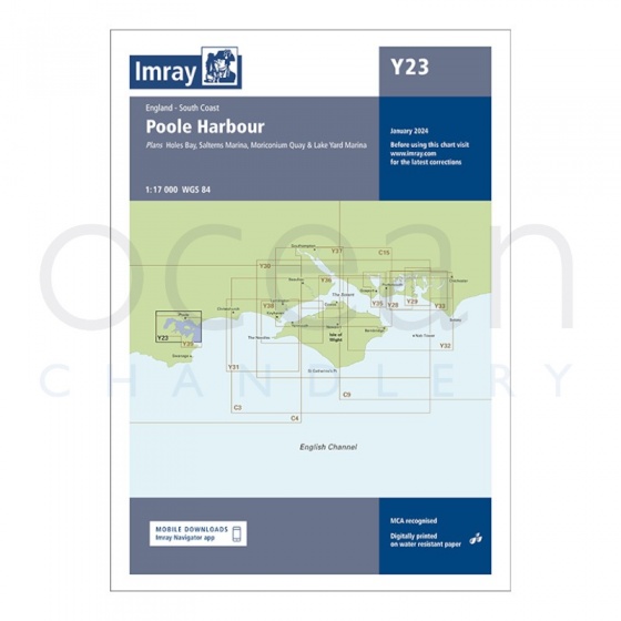
Imray - Chart Y23 Poole Harbour
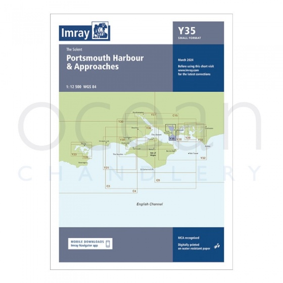
Imray - Chart Y35 Portsmouth Harbour & Approaches (Small Format)
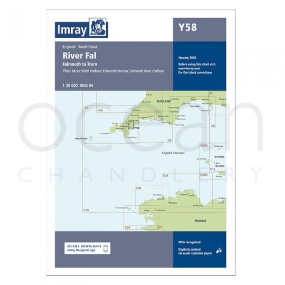
Imray - Chart Y58 River Fal, Falmouth to Truro (Small Format)
My Account Total: £0.00