Home > Electronics & Navigation > Navigation > Charts (Paper Charts)
Manufacturer #: ICC3-7
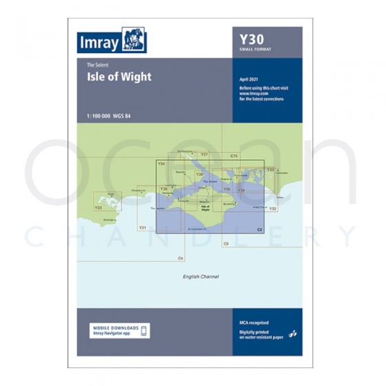
A passage planning chart ideal for sailing near or around the Isle of Wight. This chart has been reschemed to better complement the other folded charts in our Solent chart range (C15, Y33). Coverage has been adjusted to show the full circumnavigation of the Isle of Wight including the south coast passage. Inset plans of the Needles Channel and Bembridge Harbour and approaches are included. The latest official UKHO data is combined with additional information sourced from Imray's network to make it ideal for small craft.
Publication details
Flat versions are available to order, please contact us for details.
We're currently unable to show live stock information on our website, so if you need delivery fast we strongly recommend checking availability first. Simply fill out the form below and we'll get back to you, or call us on +44 (0)1243 375774 for an immediate answer.
Be the first to Write a Review for this item!
New: Vessel Traffic Services (VTS) reporting points
Imray charts for the Solent and approaches now include all VTS reporting points found in these waters. VTS reporting is mandatory for vessels of more than 20m in length that are bound to and from the Solent.
Plans included:
The chart is designed to be used alongside C15 The Solent for combined coastal navigation, approach, and harbour detail in and around the Solent and Isle of Wight.
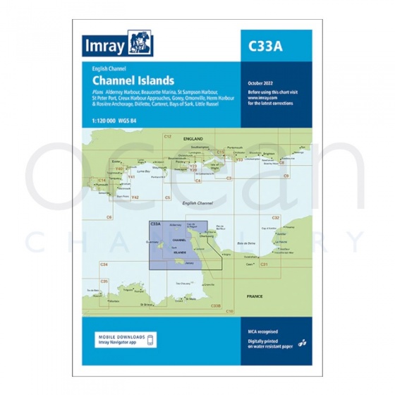
Imray - Chart C33A Channel Islands (North)
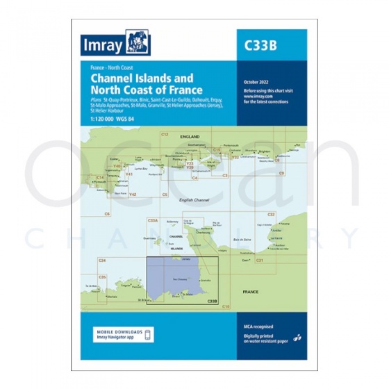
Imray - Chart C33B Channel Islands (South)
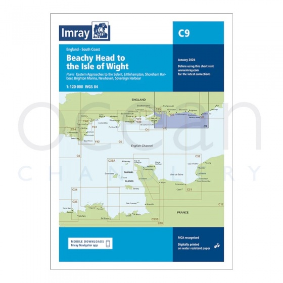
Imray - Chart C9 Beachy Head to Isle of Wight
Imray - Chart Y30 Isle of Wight (Small Format)
My Account Total: £0.00