Home > Electronics & Navigation > Navigation > Charts (Paper Charts)
Manufacturer #: ICC35-2
Publication details
Flat versions are available to order, please contact us for details.
We're currently unable to show live stock information on our website, so if you need delivery fast we strongly recommend checking availability first. Simply fill out the form below and we'll get back to you, or call us on +44 (0)1243 375774 for an immediate answer.
Be the first to Write a Review for this item!
Plans included:
On this edition the chart specification has been improved to show coloured light flashes. Updated depth surveys have been included where applicable. The harbour plans of L’Aber-Ildut and Argenton are now drawn at a scale of 1:25 000. The plan showing the approaches to Roscoff has been extended east to include better approach coverage to Bloscon Marina. There has been general updating throughout.
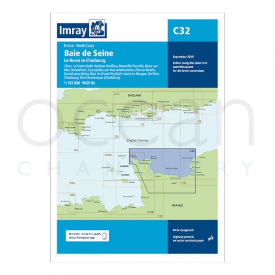
Imray - Chart C32 Baie De Seine - Le Havre to Cherbourg
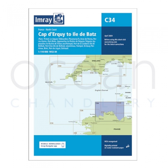
Imray - Chart C34 Cap d'Erquy to Ile De Batz
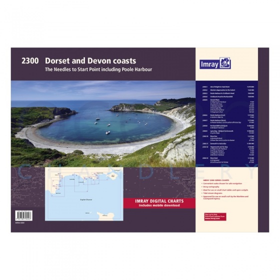
Imray - Chart Folio Pack 2300 Dorset & Devon Coasts
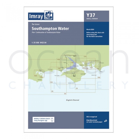
Imray - Chart Y37 Southampton Water (Small Format)
My Account Total: £0.00