Home > Electronics & Navigation > Navigation > Charts (Paper Charts)
Manufacturer #: ICC8-6
Publication details
Flat versions are available to order, please contact us for details.
We're currently unable to show live stock information on our website, so if you need delivery fast we strongly recommend checking availability first. Simply fill out the form below and we'll get back to you, or call us on +44 (0)1243 375774 for an immediate answer.
Be the first to Write a Review for this item!
Plans included:
This edition includes the latest official UKHO data, combined with additional information sourced from Imray's network to make it ideal for small craft. It includes the latest official bathymetric surveys. The chart has been fully revised throughout.
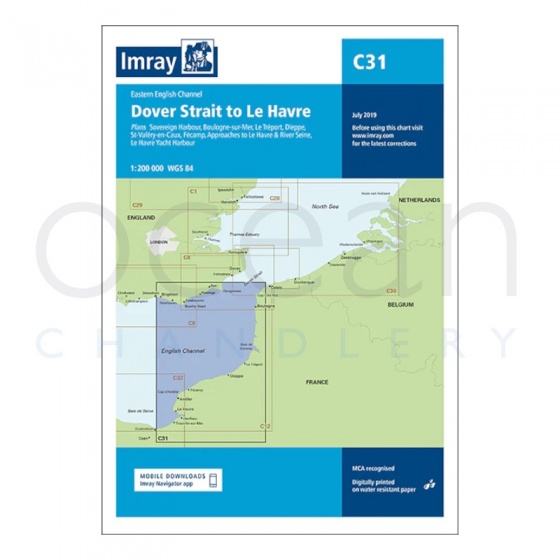
Imray - Chart C31 Dover Strait to Le Havre
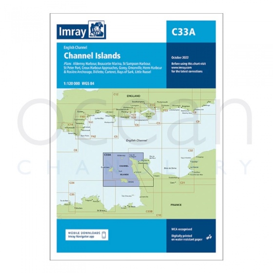
Imray - Chart C33A Channel Islands (North)
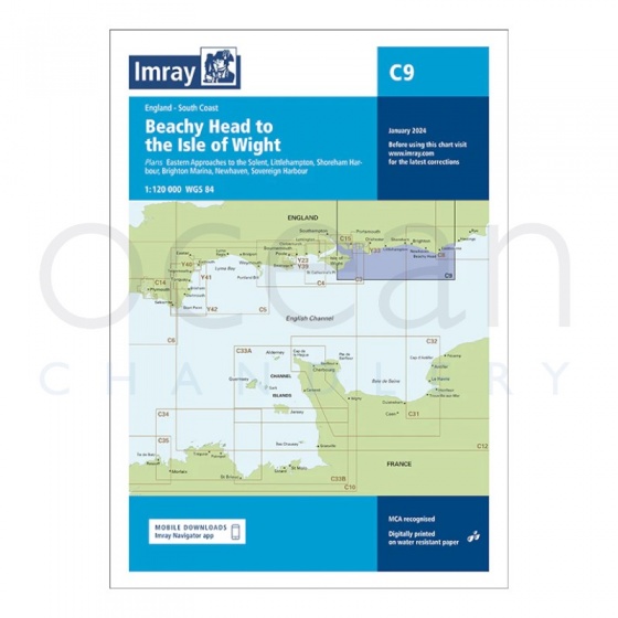
Imray - Chart C9 Beachy Head to Isle of Wight
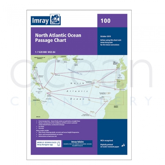
Imray - North Atlantic Ocean Passage Chart
My Account Total: £0.00