Home > Electronics & Navigation > Navigation > Charts (Paper Charts)
Manufacturer #: ICC2-4
Publication details
Flat versions are available to order, please contact us for details.
We're currently unable to show live stock information on our website, so if you need delivery fast we strongly recommend checking availability first. Simply fill out the form below and we'll get back to you, or call us on +44 (0)1243 375774 for an immediate answer.
Be the first to Write a Review for this item!
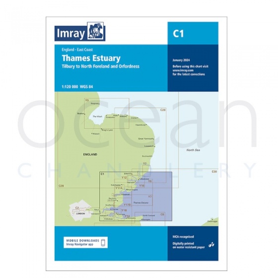
Imray - Chart C1 Thames Estuary
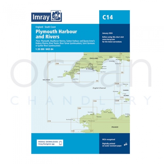
Imray - Chart C14 Plymouth Harbour & Rivers
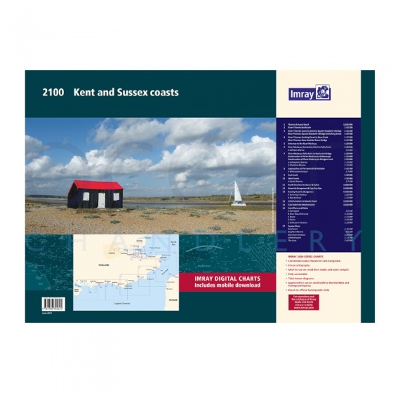
Imray - Chart Folio Pack 2100 Kent & Sussex Coasts
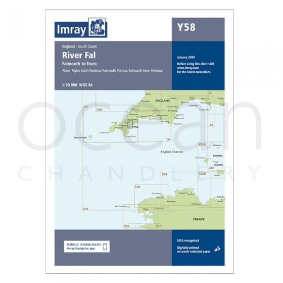
Imray - Chart Y58 River Fal, Falmouth to Truro (Small Format)
My Account Total: £0.00